The Glass Eyes of the Skies: The Rise of Aerial Photography
The Vertical Perspective: Humanity’s Ascent
For centuries, the human perspective was limited by the horizon. We saw the world as inhabitants, scurrying through forests or standing atop mountains, always grounded. That changed when the tether of the earth was severed, not by wings of flesh, but by the burgeoning curiosity of the 19th-century lens. The history of aerial photography is a chronicle of audacity—a relentless pursuit to document the sublime patterns of our planet from the heavens.
It began in 1858 with Gaspard-Félix Tournachon, better known as Nadar. Using a tethered hot air balloon over the Bievre Valley in France, he attempted to capture the earth from the clouds. While the images themselves were long ago lost to time, the intent sparked a revolution. Photography was no longer just a mirror held up to the human condition; it was now a map, a tool for observation, and an instrument of god-like detachment.
The Pigeon and the Pilot
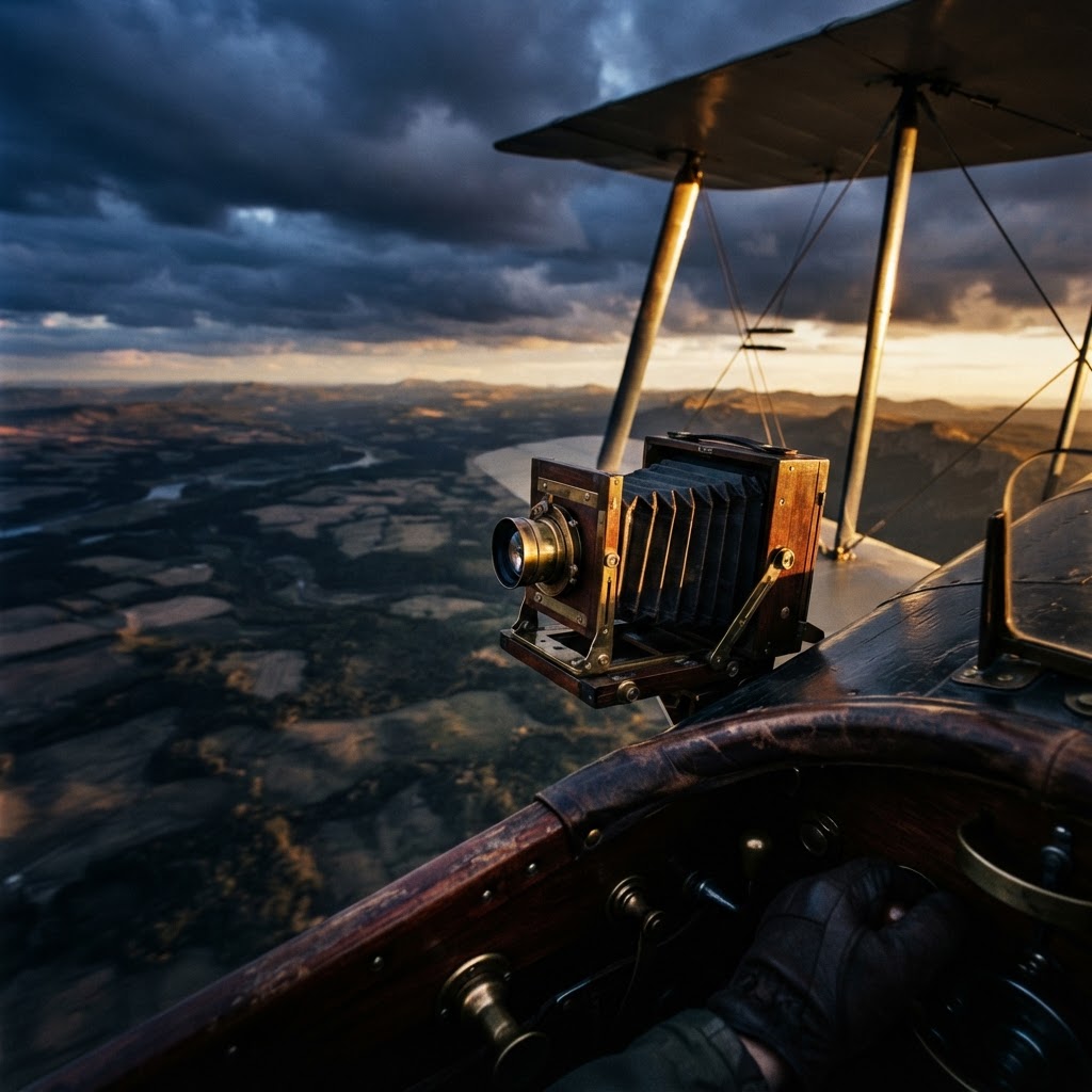
As the early 20th century dawned, the need for reconnaissance drove innovation at a blistering pace. During World War I, the camera became as vital as the bayonet. Pilots, once tasked solely with observation, became the modern chroniclers of conflict. However, before the ubiquity of engine-powered flight, the military experimented with the most unlikely of aerial photographers: the homing pigeon. Fitted with miniature, timer-actuated cameras, these birds captured sweeping, albeit shaky, vistas of the front lines. It was a bizarre, brilliant collision of nature and optics.
The eye of the camera, when lifted into the sky, loses the comfort of the human scale. It finds geometry in the chaos, revealing the intricate, often brutal, tapestry of our civilization from above.
Technological Evolution: From Plates to Precision
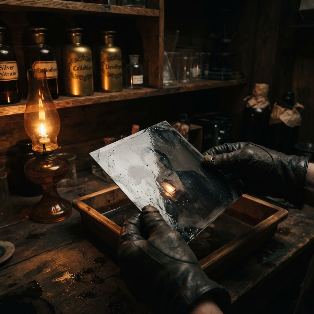
The transition from heavy glass plates to flexible roll film enabled the rapid-fire capture required for aerial work. The challenges were immense: freezing temperatures at high altitudes caused shutters to seize, and the sheer vibration of aircraft blurred the delicate resolution of the era. Engineers responded by developing shock-mounted camera systems and specialized lenses capable of compensating for the speed of travel.
- Vibration Damping: The development of specialized mounts allowed for crisp imagery despite the roar of engines.
- Film Sensitivity: Innovations in emulsion speed allowed for shorter exposure times, essential for high-velocity reconnaissance.
- The Strategic Map: By overlapping images, cartographers created photogrammetric mosaics, forever changing how we perceive national borders and geographic topography.
The Legacy of the Overhead View
Today, we carry the descendants of these aerial pioneers in our pockets, gazing at satellite maps with a nonchalance that would have astounded the early aeronauts. Yet, in the raw history of the medium, the aerial photograph remains a testament to the artist's desire to transcend human limitations. It was an era where the camera became a tool for profound intellectual discovery. Whether through the lens of a pilot over the trenches of France or a curious balloonist above the rooftops of Paris, the message remains the same: the truth of the world is often best understood by letting go of the ground and finding a new way to see.