The Glass Eyes of the Skies: The Rise of Aerial Photography
The Vertical Frontier
In the mid-19th century, humanity possessed an insatiable desire to see the world from a vantage point previously reserved for the birds. As photographers began to master the chemistry of the light-sensitive plate, a few daring pioneers looked not at the horizon, but straight down. The genesis of aerial photography was not born of convenience, but of courage, ingenuity, and the peculiar marriage of early aeronautics with the nascent science of the daguerreotype.
Nadar and the Basket of Wonders
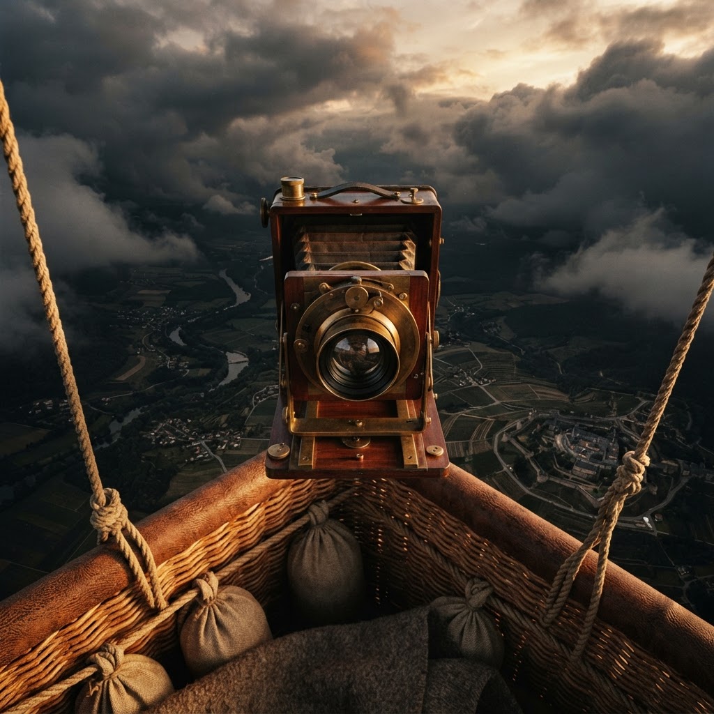
The history of this discipline finds its patron saint in Gaspard-Félix Tournachon, known to the world as Nadar. A French caricaturist turned photographer, Nadar was the first to successfully capture a city from above, ascending in a tethered balloon over the Petit-Bicêtre in 1858. The technical hurdles were immense: wet collodion plates required immediate exposure and processing, meaning Nadar had to maintain a portable darkroom within the wicker basket of his floating vessel.
The horizon is no longer a limit, but a starting point for a new geometry of human vision.
From Balloons to Reconnaissance
As the 20th century dawned, the military applications of this elevated perspective became impossible to ignore. During the American Civil War, the Union Army Balloon Corps provided commanders with rudimentary reconnaissance, though the transition to stable, repeatable aerial photography required the development of faster shutter speeds and more sensitive film emulsions. The Great War accelerated this evolution, as planes became the primary platform for observing trench movements. Pilots, once tasked only with reconnaissance, became the first true aerial documentarians, often risking anti-aircraft fire to capture the sprawling, jagged scars of the front lines.
The Aesthetic of the Overview
- Geometric Abstraction: Aerial photography stripped landscapes of their familiar context, revealing patterns, fields, and urban grids as pure design.
- The Strategic Gaze: The shift from artistic curiosity to tactical necessity fundamentally changed how we evaluate geography and cartography.
- Technological Convergence: The necessity for high-speed optics and robust shutters in vibrating aircraft led to massive leaps in camera engineering.
By the time of the interwar period, photographers like Eduard Steichen were refining the craft, treating the earth like a vast, shifting canvas. The 'glass eyes' in the sky had begun to map the world, not just for the sake of survival, but for the sake of understanding the sheer scale of the human footprint. Today, as we gaze upon satellite imagery with casual indifference, it is essential to remember the early pioneers who leaned over the edge of a swinging basket, a bulky wooden camera in hand, and dared to record a world that had never before been seen from the heavens.